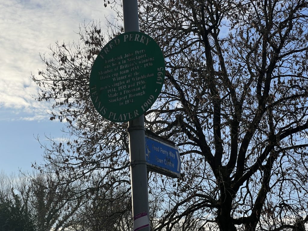
In October I ran the first half of the Fred Perry Way in Stockport. Although the total FPW is less than 14 miles, by the time I’d factored in the 4 mile run from home to the Woodford end, plus the 8 mile commute back home from North Reddish, I decided to tackle the route in two hits.
There was a definite benefit from doing it this way, not least due to the lack of long-distance fitness that I’d need to do it in one go. You see, the GPX file I downloaded from the LDWA website was not the most accurate interpretation of the route. Indeed as I passed through Bramhall, the GPX went in a completely different direction to the (admittedly few) signs on the ground.
The result was that after that run, I sat down with the maps of the route as provided on the Stockport Council website, and drew up a GPX file which was consistent with those. I’m reasonably certain that the FPW route itself was dreamt up in a council office, rather than following a pre-existing route and as the council are responsible for the signage as well, the two ought to be consistent.
Obviously I’d like to run the first half again and do it ‘properly’, but that will need to wait for another time.
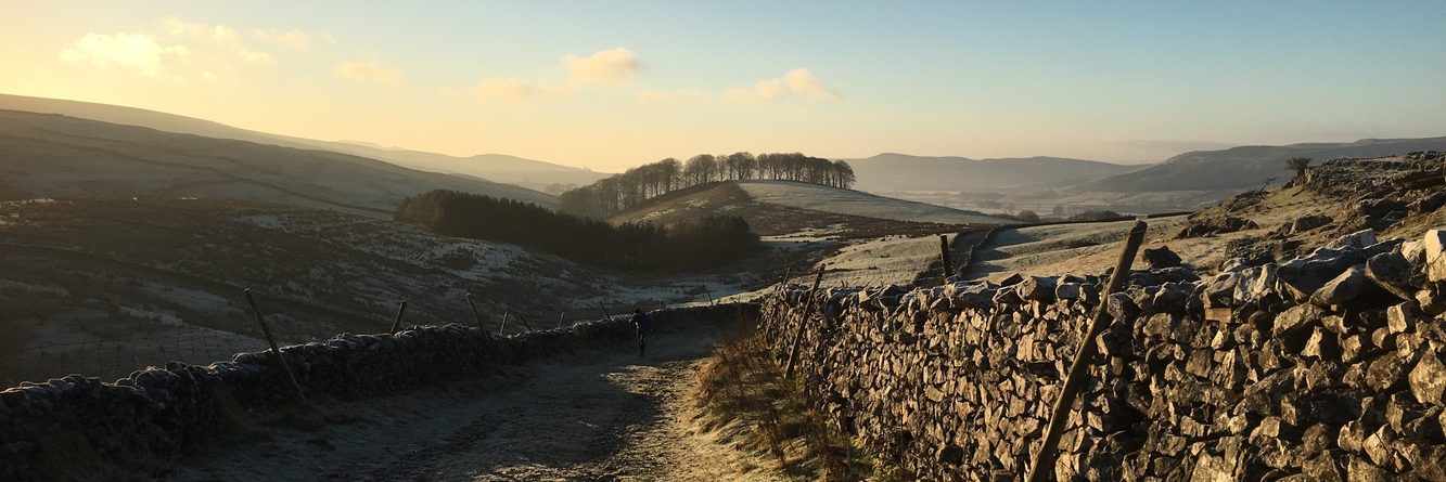
And speaking of time, with temperatures having been below zero (celcius) for over a week now, it meant that the ground should be a little less of a squelchy experience. As I commented in part 1, shoe choice was complicated by the fact that a lot of the route is on urban streets with the remainder being a selection of muddy footpaths. Hence my logic going out today was that road shoes would probably be fine throughout. And to a greater or lesser extent, that was true.
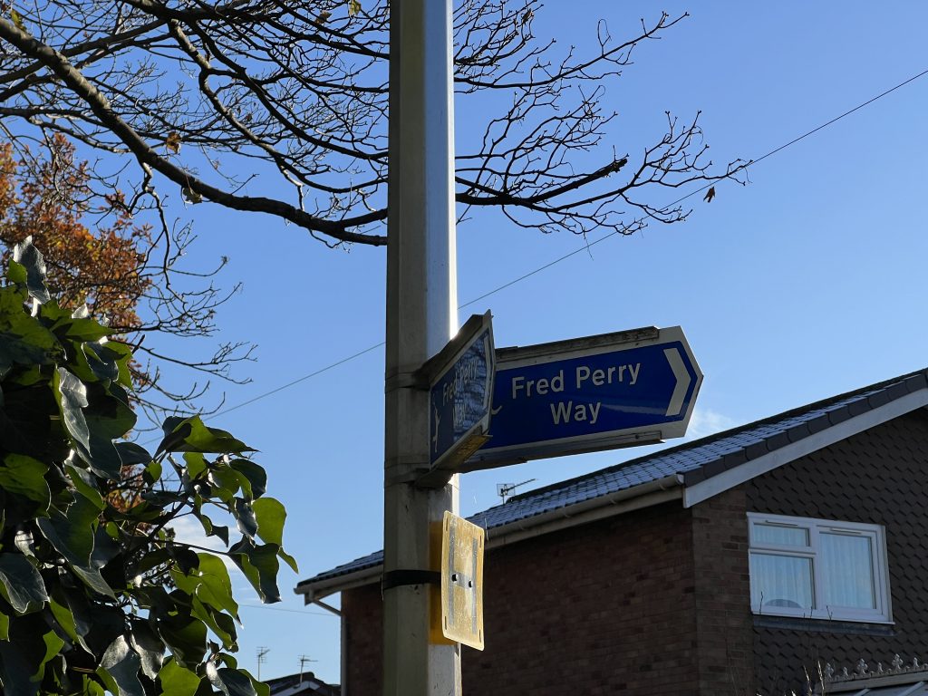
Getting to the start of “part 2” was a much quicker affair than in part 1 as it was just over a mile from home into the Hazel Grove where I picked up the FPW behind the ASDA superstore. Which in itself would have been strange to watch (nobody will have done); I run up the main road, duck in behind the supermarket for about 3 minutes and then pop back out onto the main road again. But that’s what the route does. And indeed, there are a couple of signs.
Crossing the A6 and disappearing up another back road in order to pick up the trail, it took me around the back of Sainsbury’s supermarket as I headed off into the Offerton Estate. For those uninitiated about Offerton, it’s a council estate with possibly the most ambiguous street naming convention known to humans. The houses situated on any one street will usually belong to a different street that isn’t entirely obvious. Allegedly it’s based on a postal service model. But quite why the council wants to confuse the posties I don’t know. And the emergency services, parcel firms and pizza delivery companies. Anyway I digress as I just ran straight ahead along Blackstone Lane, and whilst it appears the FPW does jut away from the road to meet Lisburne Lane, I didn’t manage that finer detail as my Garmin seemed to be displaying a map that would have probably more suited aircraft……
As mentioned earlier, the FPW has long stretches of roads and especially so in the northern half of the route. Cutting across the wider area of Offerton was skipping between estate roads connected by ginnels until emerging in Little Moor. Only once I was across the main road and in the depths of another estate road did I finally reach a trail, and ironically it was the only bit that I couldn’t map properly on the computer because the trails, for some reason, didn’t connect up. I knew the FPW went around the back of the athletics track in Woodbank Park, but my GPS was keen on an about turn and attack at a different angle, only because it was the only way I could connect the route all together!
In fairness, part of the trail did become a bit sketchy, although I suspect that without the deluge of leaves on the ground, it might have been a bit more obvious. Despite coming up the other side by the only route I saw, the signage up in the park proper suggested I had overshot the actual path. But aside from scaling several trees, I’ve no idea which path it thought I should have been on!
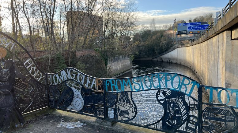
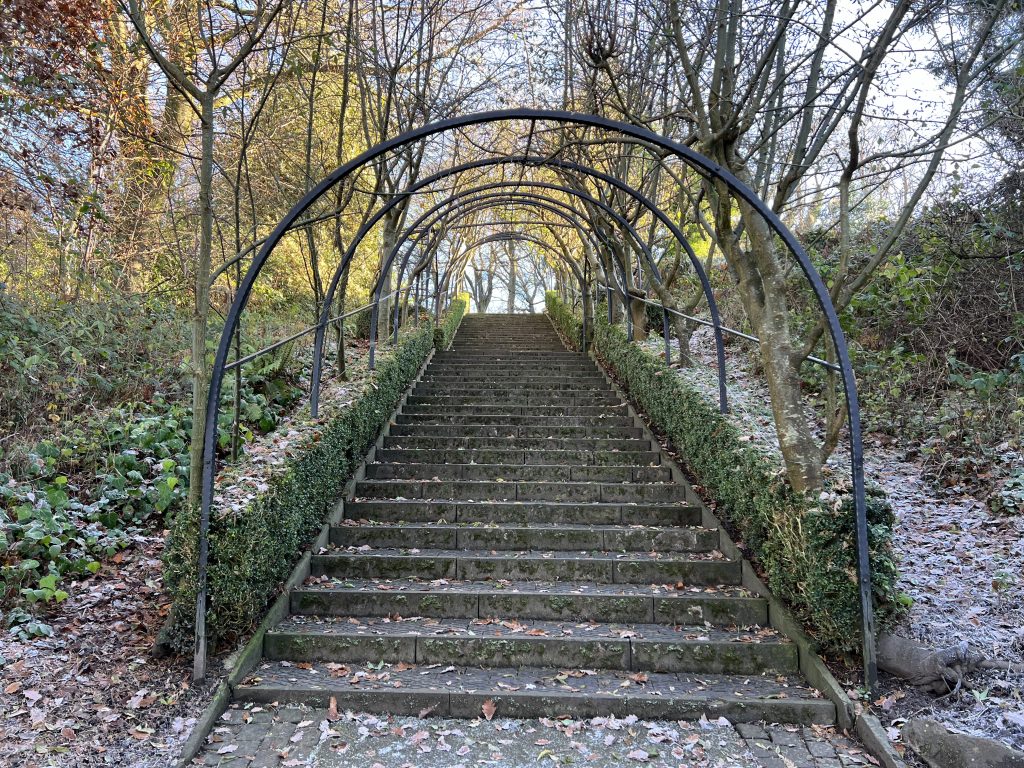
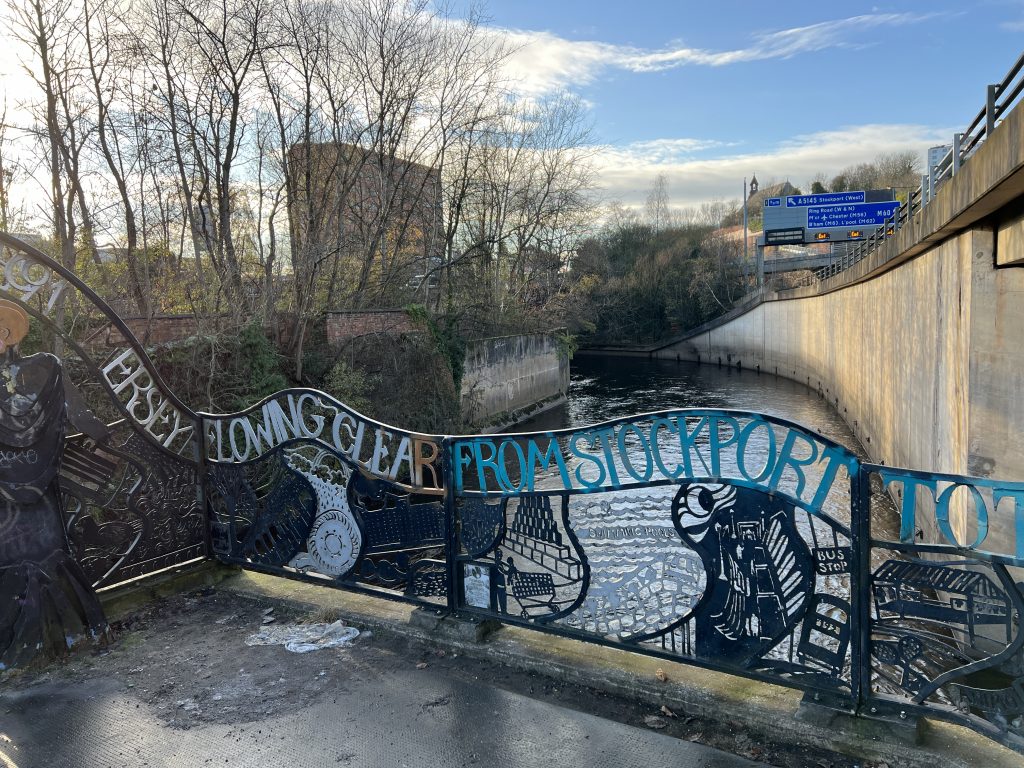
Woodbank Park has a solid tarmac path to follow before cutting across the top of Vernon Park to finally come out onto New Zealand Road. A minor nav blunder with associated faffage but I soon went along the correct trail which took me across the main road and into the town centre proper. At least at this point there were plenty of signs to get me around (another) ASDA and underneath the motorway. It’s really scenic…….
Emerging out of the other side I passed by the imposing council flats on Lancashire Hill, somewhere I’ve visited many times but I still can’t remember which building is which. At least following through here took me away from Stockport centre and into the outskirts of Reddish.
And so followed more estate-road dodging and sign following. Many of the signs were blue, some were green. I have no idea why they were different. Passing first through Houldsworth Square (South Reddish) and then St Elizabeth’s church, the venue of a friends’ wedding (and blessing) last summer I finally passed a sign for North Reddish Park and at last the voyage was reaching its finale. Just a few more icy paths to cover before popping out of the other side of the park and the sign indicating one end of the FPW.
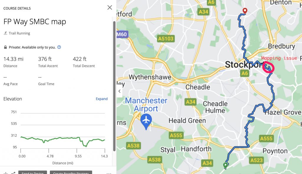
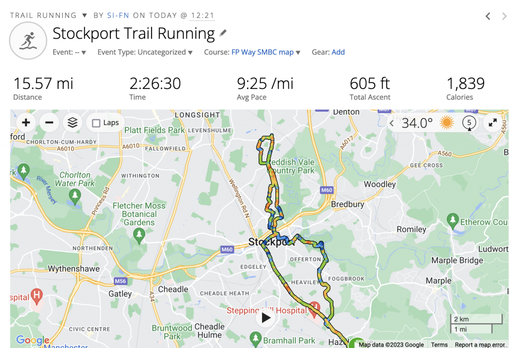
To this point I’d run 8.5 miles with the first mile (and a bit) being the commute to where I picked up the FPW. At least my new GPX properly corresponded with the signs on the ground!
Of course, I was now 8+ miles away from home. The plan was to run back to the A6 and jump on a 192 bus back to Hazel Grove. Except none came and I ended up running, well staggering at least, back home. Total mileage was 15.6 miles, confirming my suspicion that the FPW wasn’t the most direct of routes!
So that’s the whole route covered. Obviously I’d like to go back and do it in one hit to experience the full route without the random faffy bits getting to and from home. I’ll also organise a pristine GPX trace for the LDWA to replace the questionable one that they have saved. Unfortunately unless I can get the mapping software to work we’ll be relying on me running it. And without the signature screw-ups when I go completely off-piste!
Be the first to comment on "Fred Perry Way: part 2"